Parks and Facilities
1 to 10 of 60 Results
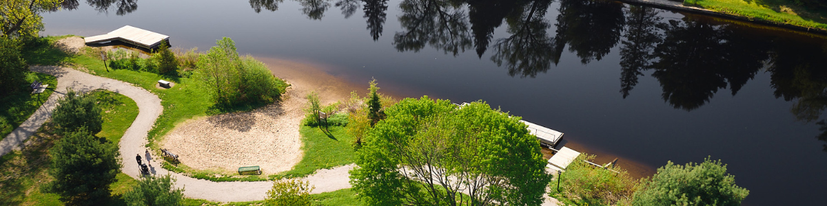
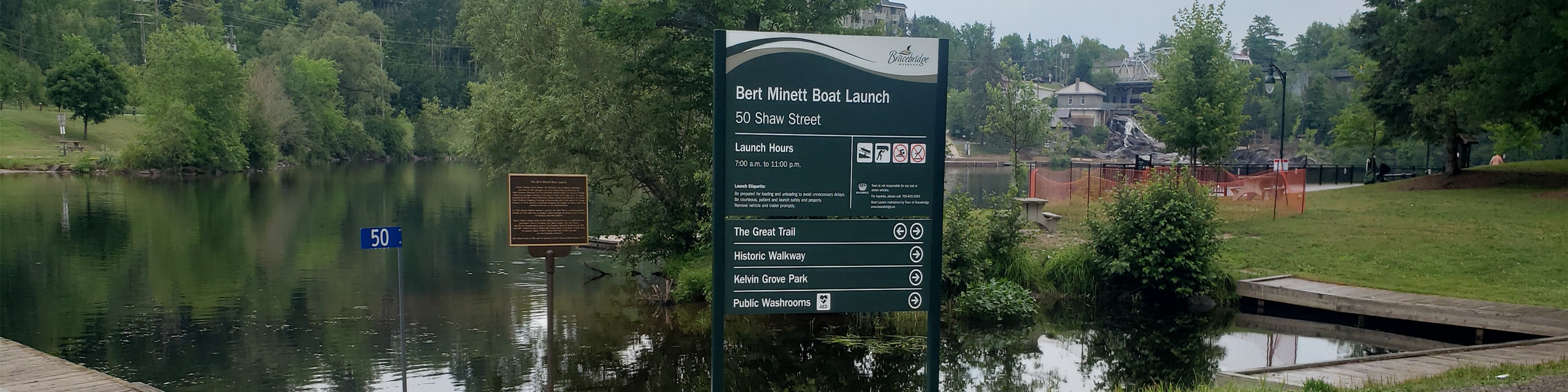
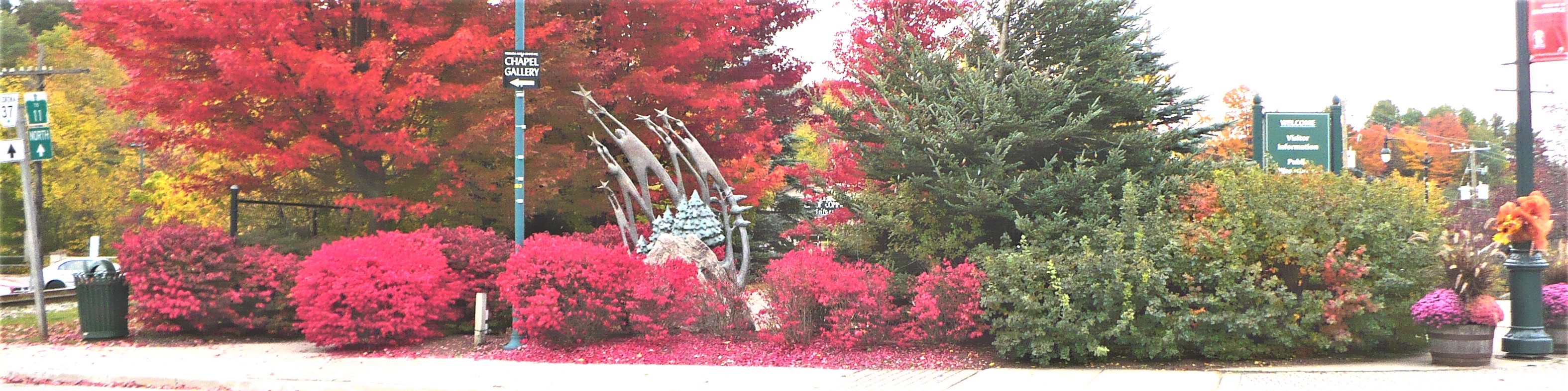
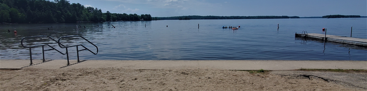
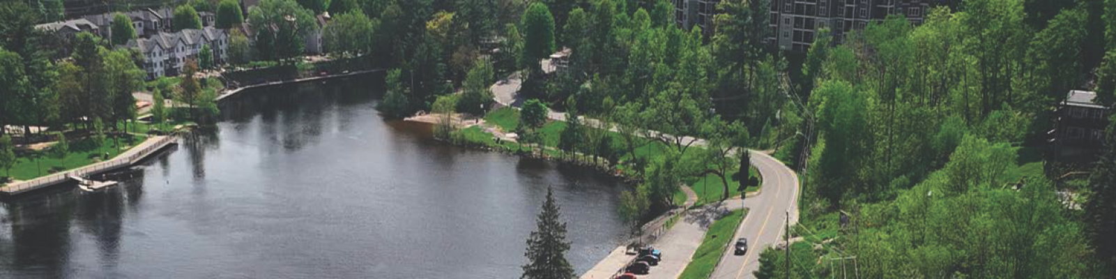
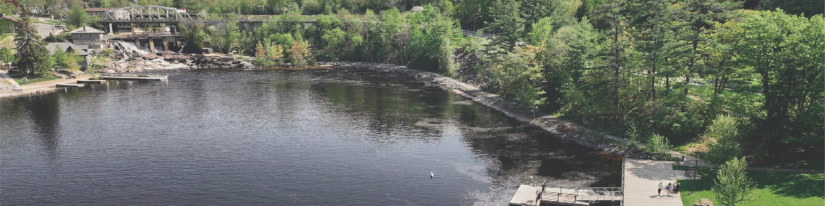
Bracebridge is home to an array of outdoor spaces, facilities and hidden gems to keep you active, engaged and surrounded by beauty. Discover all that Bracebridge has to offer.


This website uses cookies to enhance usability and provide you with a more personal experience. By using this website, you agree to our use of cookies as explained in our Privacy Policy.